Blog & Latest Updates
Fly Fishing Articles
Insects by Common Name

> > Hike in the Clearwater Mountains in the Alaska Range (Day 4 of 4)
Hike in the Clearwater Mountains in the Alaska Range (Day 4 of 4)
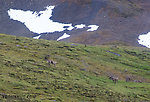
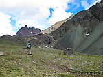
I think this was the best day of the hike. I woke up and poked my head outside the tent and saw a bull, cow, and calf caribou wandering around within 200 yards. Better still, it wasn't raining!
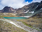
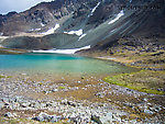
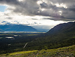
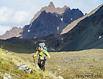
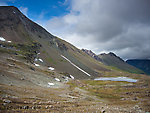
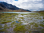
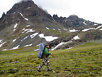
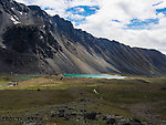
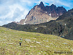
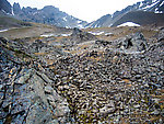
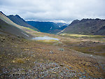
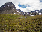
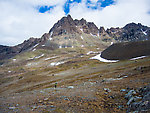
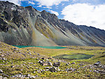
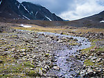
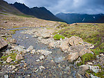
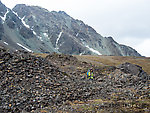
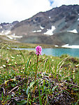
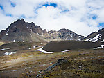
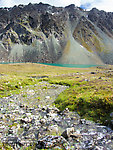
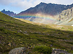
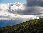
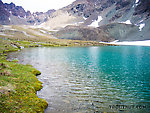
After climbing just a few hundred feet into the last pass of the trip, we had a relatively easy mostly-downhill hike for the rest of the trip. Sun and blue sky made the scenery even better, especially as we passed by a series of emerald alpine lakes.
After climbing just a few hundred feet into the last pass of the trip, we had a relatively easy mostly-downhill hike for the rest of the trip. Sun and blue sky made the scenery even better, especially as we passed by a series of emerald alpine lakes.
Photos by Troutnut from Clearwater Mountains in Alaska
Comments / replies
| Oldredbarn | July 14th, 2013, 11:34 am | |
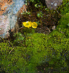
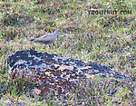
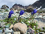
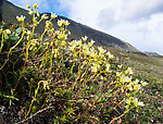
| Novi, MI Posts: 2608 | Wow! That's all I can say Jason. Just wonderful...and you even added some flora for Jonathon and a bird for Spence. ;) Thanks for sharing! Beautiful! Spence | |
| "Even when my best efforts fail it's a satisfying challenge, and that, after all, is the essence of fly fishing." -Chauncy Lively "Envy not the man who lives beside the river, but the man the river flows through." Joseph T Heywood | ||
| Jmd123 | July 16th, 2013, 11:59 pm | |
| Oscoda, MI Posts: 2611 | WOOOOOOOOOOOOOOOOOOOOOOOOW........... I guess there is some compensation for putting up with seemingly endless winters...this stuff is mind-blowing, Jason...the colors alone...and of course I love the flora shots & scientific names (a nod back at ya there, Spence!). Won't be anywhere near as spectacular but I'll have to share some floral photos of my latest work (Karner Blue Butterfly habitat surveys for the Manistee National Forest). BTW Jason, I'm sure your insects are horrible, but today I saw the front of my work vehicle swarmed by at least 100 deer flies, I'm not kidding...I'm considering a full beekeeping suit and a smoker to keep them at bay when I can no longer avoid those survey areas where they threaten to drain one entirely of blood... Jonathon | |
| No matter how big the one you just caught is, there's always a bigger one out there somewhere... | ||
| Troutnut | July 17th, 2013, 5:37 am | |
Administrator Bellevue, WAPosts: 2737 | The insects weren't bad on this trip, actually. :) That was one of the benefits of being up at high altitude on rainy days with highs mostly in the forties. Even at the start of and end of the trip (low altitude, fair weather) the mosquitoes were nothing compared to what we've had near Fairbanks for most of June and early July. | |
| Jason Neuswanger, Ph.D. Troutnut and salmonid ecologist | ||
| Lastchance | July 17th, 2013, 12:39 pm | |
| Portage, PA Posts: 437 | Holy cow? What beautiful photos and great scenery. Thanks | |
| Sci | May 20th, 2022, 12:50 pm | |
| NE Nebraska Posts: 2 | Hello Jason, Awesome adventure and nice site. Say, I was wondering; it looks like you went up the Windy Creek and around the east side by the South Fork of the Pass Creek and then came back south over a couple of mountain passes and down the Alpine Creek. I have been wanting to go up the Valdez Creek road (runs parallel to Clearwater Creek and about 5 miles north), get dropped off at the Roosevelt Lake and hike over to the Clearwater Creek, put my packraft in and float out to the Denali Highway. My question is; I am no white water rafter and 69 years old (in decent shape) and wondering how doable this is? Thank you, Dan Kirby Battle Creek, Ne | |
| Troutnut | May 21st, 2022, 3:04 pm | |
Administrator Bellevue, WAPosts: 2737 | Hi Dan, That's pretty good guesswork! You got it about half right. We bushwhacked through the dwarf birch to go in up the east side of the mountains along the tundra just above the brush, crossed the low pass over into South Fork Pass Creek, cross the tip top of Windy Creek, and then came back south through the pass over to Alpine Creek, where Jen at the Alpine Creek Lodge gave us a ride back to our cars. I wouldn't recommend that float trip if you're no whitewater rafter. It's beautiful, but see day four of this report for what can happen. We did pretty much the same float you're considering. My dad and I both flipped once and got soaked, and we passed an abandoned torn-up canoe or two along the way. It's tame by Alaska whitewater standards, class II or II+, but it would be a lot higher class in the Midwest. My report has some pretty pictures of super-inviting water, but I don't have pictures of the sketchy spots because I was too busy drying to stay upright. The hazards are basically just fast spots with lots of big rocks and too much brush on the banks to get out and walk. Somebody fairly skilled in whitewater would laugh at me for suggesting this is a hard one, but I think it is too risky for a novice-intermediate solo trip. If I were you and wanted to do a Roosevelt Lake drop-off, I would hike up the South fork Pass Creek, then cut west through Wedding Pass and head for Alpine Creek like we did. It's more leg work, but you'd see a lot more really cool country with relatively few risks by Alaska backcountry standards. Jason | |
| Jason Neuswanger, Ph.D. Troutnut and salmonid ecologist | ||
Quick Reply
You have to be logged in to post on the forum. It's this easy:
Related Discussions
| Title | Replies | Last Reply |
| Re: JACKSON HOLE OR HENRYS FORK In General Discussion by HEGARTY | 2 | Jul 6, 2015 by Martinlf |
| Re: Atigun float In by Sci | 1 | May 21, 2022 by Troutnut |
| Re: New fly rod In Gear Talk by BigTrout | 8 | Sep 26, 2013 by Stokes |
| Alaska In Fishing Reports by Leakyboots | 0 | |
| South fork sauk In by Russell_O | 0 | |
| Re: SE Minnesota In General Discussion by HighFlyer | 6 | Aug 15, 2008 by HighFlyer |
| Re: Hike in the Clearwater Mountains in the Alaska Range (Day 3 of 4) In Site Updates by Troutnut | 1 | Jul 31, 2013 by Jmd123 |
| Re: Savage river In General Discussion by Shanemb2 | 2 | Jan 18, 2015 by Wbranch |
| West Yellowstone Area in August In Fly Tying by Oldredbarn | 0 | |
| Brookville Lake, Indiana trout release In General Discussion by Konchu | 0 |
Troutnut.com is copyright © 2004-2024 Jason
Neuswanger (email Jason). See my FAQ for information about use of my images.
 privacy policy
