Blog & Latest Updates
Fly Fishing Articles
Insects by Common Name

Denali Highway, day 2
We slept in Sunday morning and biked up to get the remaining meat around noon. The weather and ride were as nice as the previous day's, as was the rest of the beautiful but uneventful drive back across the Denali Highway to Paxson. We saw no other caribou and many dozen hunters, underscoring just how lucky I'd been to find a bull, even such a small one.
We reached the eastern side of the highway as the sun set and the moon rose over Mount Sanford, a majestic shield volcano 90 miles to the southeast in the Wrangells. That range is occasionally visible from high points on the eastern Denali Highway, but I'd never seen it so clearly before. Just another one-of-a-kind treat from the most scenic highway on Earth.
Photos by Troutnut from Clearwater Mountains, Miscellaneous Alaska, and Denali Highway in Alaska
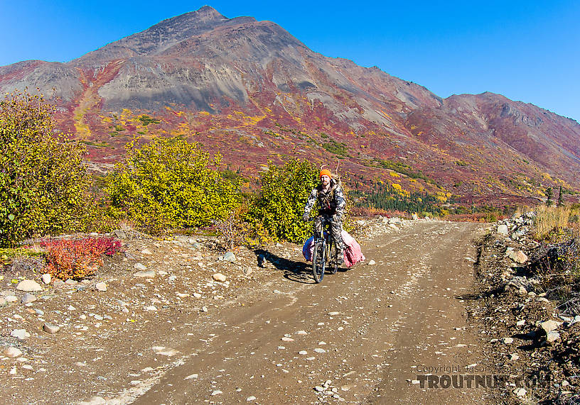
Riding out
StateAlaska
LocationClearwater Mountains
Date TakenSep 15, 2013
Date AddedSep 20, 2013
AuthorTroutnut
CameraNikon Coolpix P7700
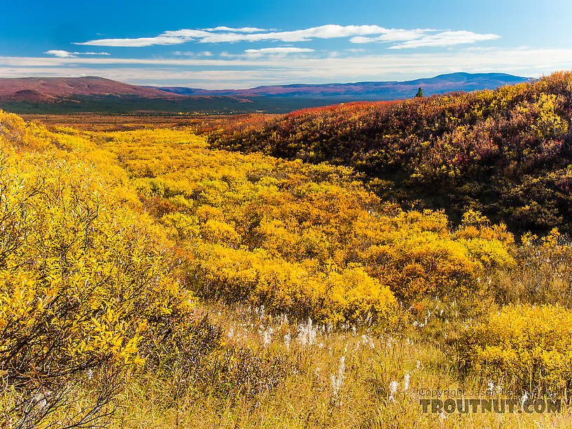
Beautiful yellow valley
StateAlaska
LocationClearwater Mountains
Date TakenSep 15, 2013
Date AddedSep 20, 2013
AuthorTroutnut
CameraNikon Coolpix P7700
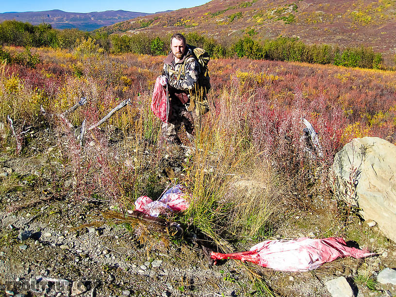
Retrieving the last load of meat. Multiple groups of hunters had seen a pack of at least three wolves in this area the previous day, and a few days earlier. So I was a little bit nervous about leaving part of the meat overnight, and relieved when we found it untouched. It may have helped that a group of hunters had camped on the road not far away.
StateAlaska
LocationClearwater Mountains
Date TakenSep 15, 2013
Date AddedSep 20, 2013
AuthorTroutnut
CameraCanon PowerShot D10
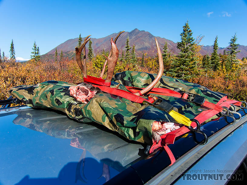
Packed up and ready to go. This was a great way to transport the meat. It stayed cool, didn't stink up the car, and didn't even get dusty at all from the dry road.
StateAlaska
LocationClearwater Mountains
Date TakenSep 15, 2013
Date AddedSep 20, 2013
AuthorTroutnut
CameraNikon Coolpix P7700
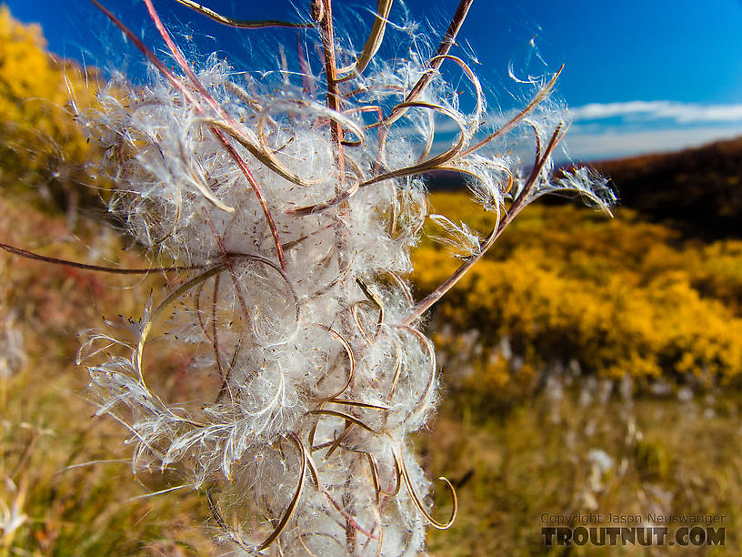
Fireweed. This is what Alaska's iconic purple flowers look like once they've gone to seed
StateAlaska
LocationClearwater Mountains
Date TakenSep 15, 2013
Date AddedSep 20, 2013
AuthorTroutnut
CameraNikon Coolpix P7700
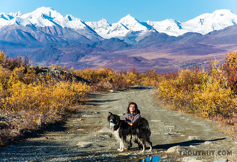
Lena and Taiga on the Maclaren River Trail. This trail heads north toward the Maclaren Glacier and West Fork of the Maclaren River, uphill on the west side of the Maclaren River.
StateAlaska
LocationMaclaren River Trail
Date TakenSep 15, 2013
Date AddedSep 20, 2013
AuthorTroutnut
CameraNikon Coolpix P7700
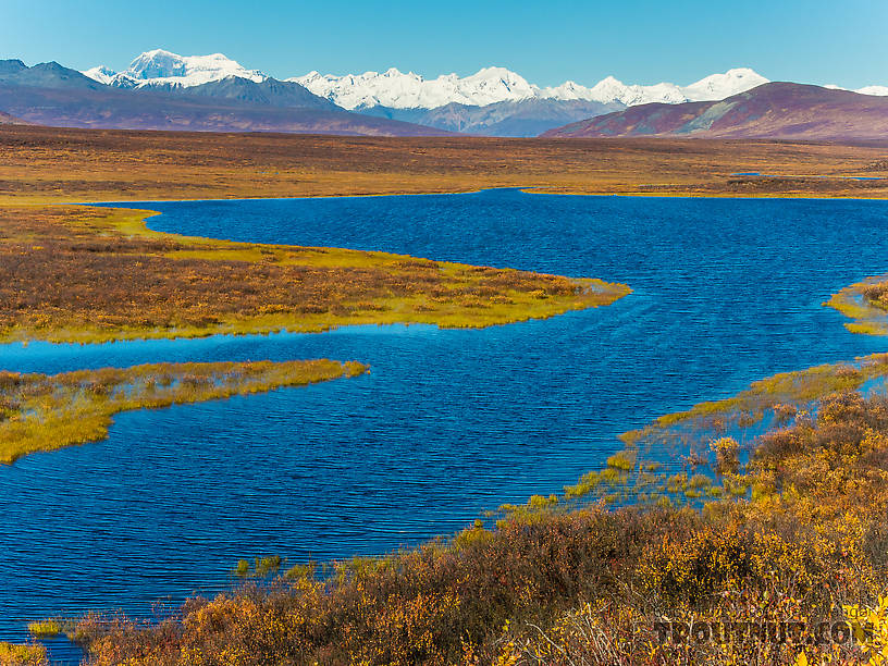
StateAlaska
LocationDenali Highway
Date TakenSep 15, 2013
Date AddedSep 20, 2013
AuthorTroutnut
CameraNikon Coolpix P7700
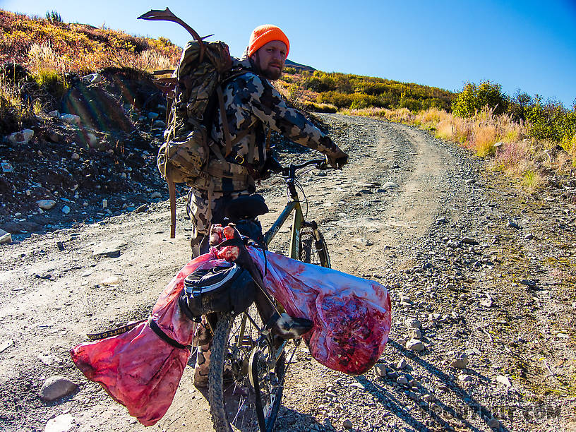
Final load packed up. I strapped the hind quarters off either side of my bike's rear tire rack, loaded the burger/rib bag and antlers in my pack, and had an easy ride out to the car without Lena having to carry anything or get messy caribou on her gear.
StateAlaska
LocationClearwater Mountains
Date TakenSep 15, 2013
Date AddedSep 20, 2013
AuthorTroutnut
CameraNikon Coolpix P7700
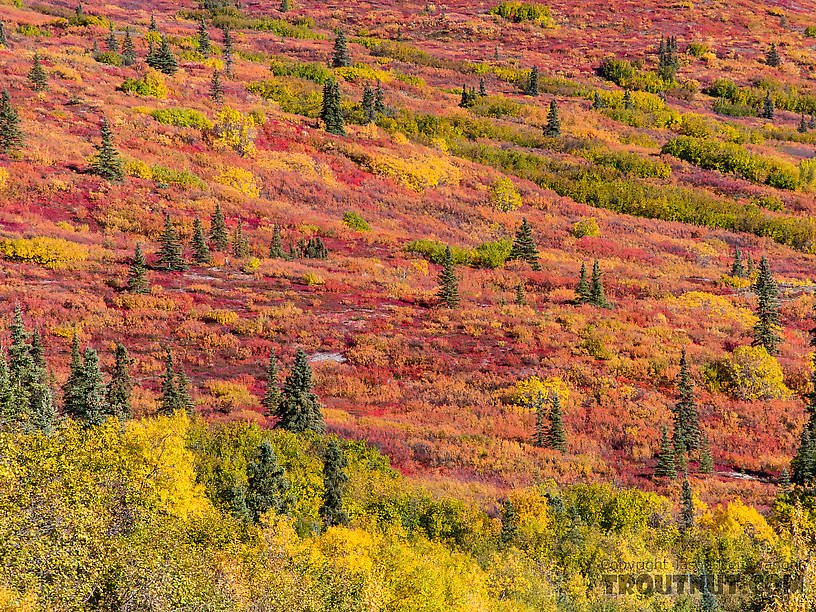
Tundra colors
StateAlaska
LocationClearwater Mountains
Date TakenSep 15, 2013
Date AddedSep 20, 2013
AuthorTroutnut
CameraNikon Coolpix P7700

Looking back at the Clearwater Mountains from the east
StateAlaska
LocationDenali Highway
Date TakenSep 15, 2013
Date AddedSep 20, 2013
AuthorTroutnut
CameraCanon EOS 20D
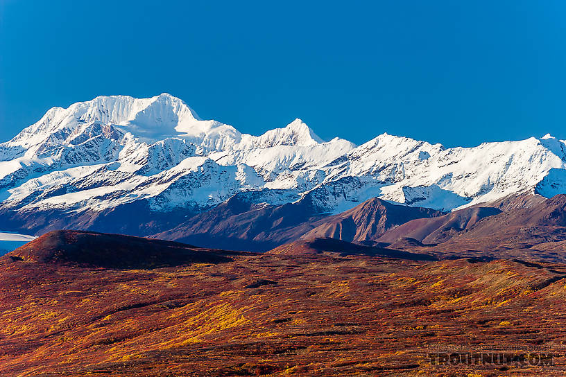
Aurora Peak. You can also see a bit of the Maclaren Glacier on the very left hand side of the image
StateAlaska
LocationDenali Highway
Date TakenSep 15, 2013
Date AddedSep 20, 2013
AuthorTroutnut
CameraCanon EOS 20D
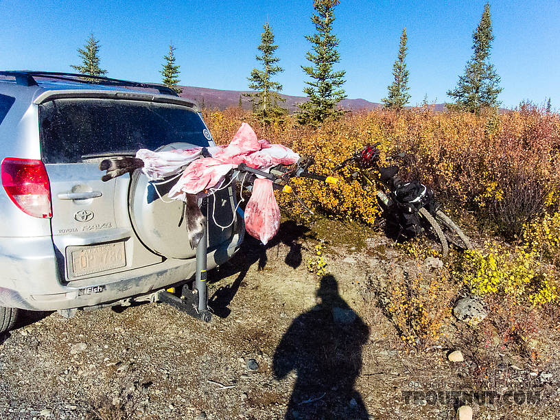
First haul of meat. After getting the meat back to the road, I stashed the hind quarters and burger/rib meat bag in an alder thicket. I took these two front quarters and tenderloins/backstraps out with me on an after-dark bike ride 3 miles downhill to the car. My awesome 172-lumen ZebraLight H51W headlamp lit up the trail almost like a car headlight for me and Lena to make the ride.
StateAlaska
LocationClearwater Mountains
Date TakenSep 15, 2013
Date AddedSep 20, 2013
AuthorTroutnut
CameraNikon Coolpix P7700
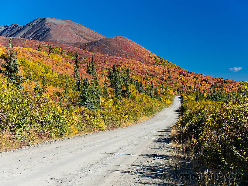
Denali Highway
StateAlaska
LocationClearwater Mountains
Date TakenSep 15, 2013
Date AddedSep 20, 2013
AuthorTroutnut
CameraNikon Coolpix P7700
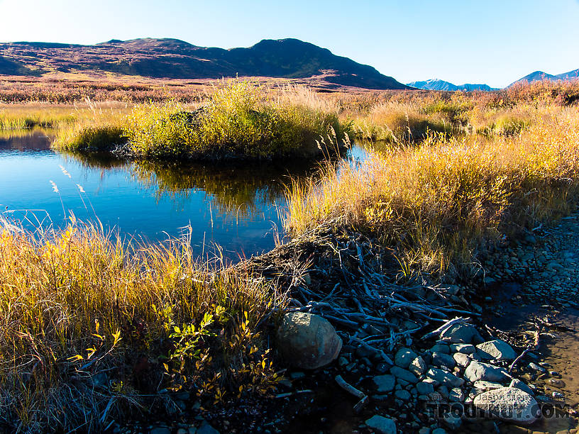
Beaver dam and beaver lodge overgrown with willows
StateAlaska
LocationMaclaren River Trail
Date TakenSep 15, 2013
Date AddedSep 20, 2013
AuthorTroutnut
CameraNikon Coolpix P7700
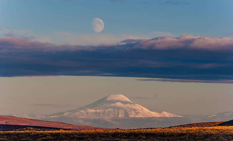
Moonrise over Mt Sanford. An unusually clear view of this mountain from 90 miles away on the Denali Highway
StateAlaska
LocationDenali Highway
Date TakenSep 15, 2013
Date AddedSep 20, 2013
AuthorTroutnut
CameraCanon EOS 20D
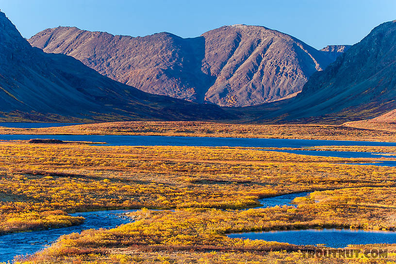
Glacier Gap. This notch in the mountains two miles north of the highway holds a sizable lake.
StateAlaska
LocationDenali Highway
Date TakenSep 15, 2013
Date AddedSep 20, 2013
AuthorTroutnut
CameraCanon EOS 20D
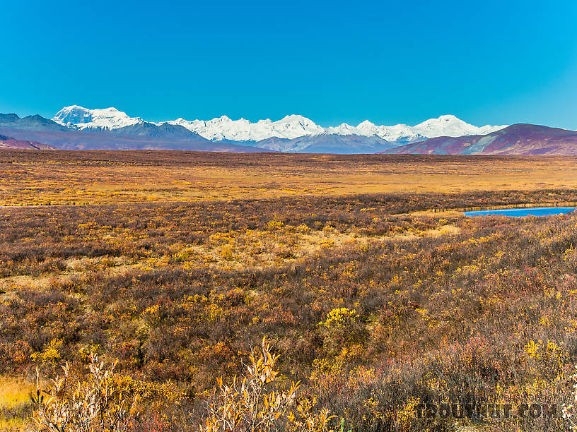
Alaska Range from Mile 52 Denali Highway. The left-most double peak is 12,510-foot Mt Shand (left) and 13,020-foot Mt Moffit (right). The other two tall peaks, middle and right, are unnamed (at least on Google Earth). The peak on the horizon about 2/3 of the way from Mt Moffit to the unnamed middle peak is 11,400-foot McGinnis Peak.
StateAlaska
LocationDenali Highway
Date TakenSep 15, 2013
Date AddedSep 20, 2013
AuthorTroutnut
CameraNikon Coolpix P7700
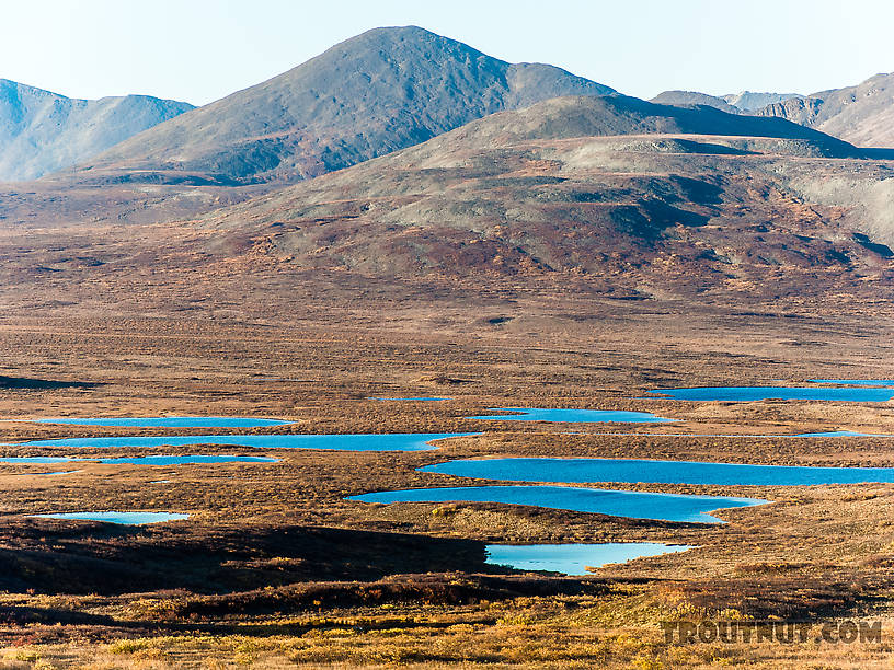
Kettle lakes
StateAlaska
LocationDenali Highway
Date TakenSep 15, 2013
Date AddedSep 20, 2013
AuthorTroutnut
CameraNikon Coolpix P7700
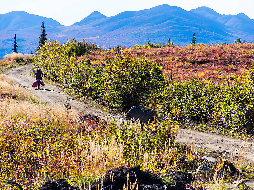
Riding out 2
StateAlaska
LocationClearwater Mountains
Date TakenSep 15, 2013
Date AddedSep 20, 2013
AuthorTroutnut
CameraNikon Coolpix P7700
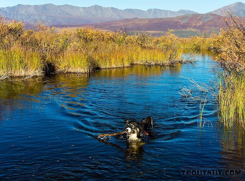
Taiga fetching
StateAlaska
LocationMaclaren River Trail
Date TakenSep 15, 2013
Date AddedSep 20, 2013
AuthorTroutnut
CameraNikon Coolpix P7700
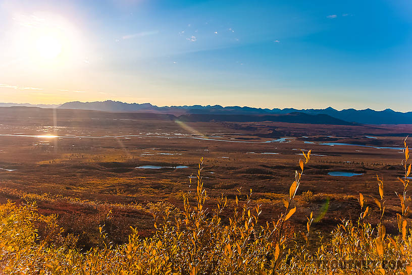
View west across the Maclaren River valley from Maclaren Summit. The Clearwater Mountains make up the highest part of the horizon near the sun.
StateAlaska
LocationDenali Highway
Date TakenSep 15, 2013
Date AddedSep 20, 2013
AuthorTroutnut
CameraCanon EOS 20D
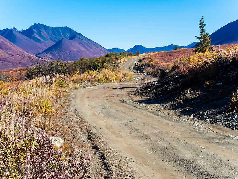
Windy Creek Road
StateAlaska
LocationClearwater Mountains
Date TakenSep 15, 2013
Date AddedSep 20, 2013
AuthorTroutnut
CameraNikon Coolpix P7700
StateAlaska
LocationDenali Highway
Date TakenSep 15, 2013
Date AddedSep 20, 2013
AuthorTroutnut
CameraNikon Coolpix P7700

The four tallest peaks (on the horizon, from this perspective), from left to right, I think, are Mt Hayes, 10,065-foot Aurora Peak, and a "double" peak that is actuall Mt Shand (left/foreground) with the peak of Mt Moffit sticking up in the background to the right of it
StateAlaska
LocationDenali Highway
Date TakenSep 15, 2013
Date AddedSep 20, 2013
AuthorTroutnut
CameraCanon EOS 20D

Panorama from the Maclaren River trail
StateAlaska
LocationMaclaren River Trail
Date TakenSep 15, 2013
Date AddedSep 20, 2013
AuthorTroutnut
CameraNikon Coolpix P7700
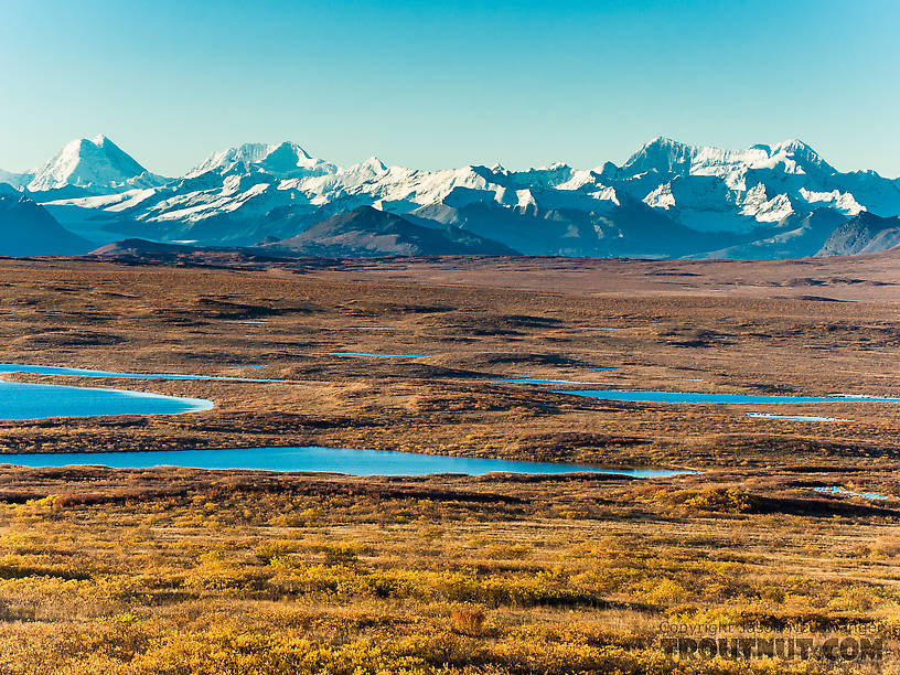
Kettle lakes and the Alaska Range
StateAlaska
LocationDenali Highway
Date TakenSep 15, 2013
Date AddedSep 20, 2013
AuthorTroutnut
CameraNikon Coolpix P7700
Closeup insects by Entoman from Mystery Creek #178 in Idaho
Female Psychoglypha alascensis (Snow Sedge) Caddisfly Adult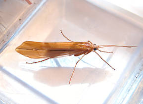 View 3 PicturesThis specimen was 22 mm.
 View 3 PicturesThis specimen was 22 mm.
Collected September 15, 2013 from Mystery Creek #178 in Idaho
Added to Troutnut.com by Entoman on September 23, 2013
Added to Troutnut.com by Entoman on September 23, 2013
Female Timpanoga hecuba (Great Red Quill) Mayfly Dun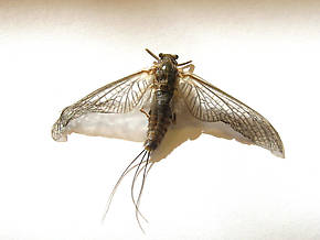 View 3 PicturesThis specimen is 14 mm. Technically this is the subspecies (Subspecies: Entomologists sometimes further divide a species into distinct groups called subspecies, which have two lower-case words on the end of their scientific name instead of one. The latter is the sub-species name. For example, Maccaffertium mexicanum mexicanum and Maccaffertium mexicanum integrum are two different subspecies of Maccaffertium mexicanum.) T. h. hecuba. The Cascades, Sierras and further West is where the other subspecies (Subspecies: Entomologists sometimes further divide a species into distinct groups called subspecies, which have two lower-case words on the end of their scientific name instead of one. The latter is the sub-species name. For example, Maccaffertium mexicanum mexicanum and Maccaffertium mexicanum integrum are two different subspecies of Maccaffertium mexicanum.), T. h. pacifica is found. The Great Basin seems to have formed a barrier preventing any overlap in their distribution.
 View 3 PicturesThis specimen is 14 mm. Technically this is the subspecies (Subspecies: Entomologists sometimes further divide a species into distinct groups called subspecies, which have two lower-case words on the end of their scientific name instead of one. The latter is the sub-species name. For example, Maccaffertium mexicanum mexicanum and Maccaffertium mexicanum integrum are two different subspecies of Maccaffertium mexicanum.) T. h. hecuba. The Cascades, Sierras and further West is where the other subspecies (Subspecies: Entomologists sometimes further divide a species into distinct groups called subspecies, which have two lower-case words on the end of their scientific name instead of one. The latter is the sub-species name. For example, Maccaffertium mexicanum mexicanum and Maccaffertium mexicanum integrum are two different subspecies of Maccaffertium mexicanum.), T. h. pacifica is found. The Great Basin seems to have formed a barrier preventing any overlap in their distribution.
Collected September 15, 2013 from Mystery Creek #178 in Idaho
Added to Troutnut.com by Entoman on September 23, 2013
Added to Troutnut.com by Entoman on September 23, 2013
Most recent comments on this post (latest on top)
| Martinlf | September 23rd, 2013, 7:23 pm | |
Moderator Palmyra PAPosts: 3233 | Great photos. In addition to the moon shot, my favorites were the tundra colors and fireweed photos. | |
| "He spread them a yard and a half. 'And every one that got away is this big.'" --Fred Chappell | ||
| Troutnut | September 23rd, 2013, 2:57 pm | |
Administrator Bellevue, WAPosts: 2737 | Once he parks the bike and gets a 4 wheeler Never! | |
| Jason Neuswanger, Ph.D. Troutnut and salmonid ecologist | ||
| Oldredbarn | September 23rd, 2013, 1:43 pm | |
| Novi, MI Posts: 2608 | OK Now you're just showing off! ;) I agree Eric...He hasn't gone completely native though...Once he parks the bike and gets a 4 wheeler we will never see him in the Lower 48 ever again! ;) That's a sure sign he's done. Wonderful stuff Jason. Spence Riding in Valdez Creek road. We weren't the only ones with this idea. The Department of Fish & Game hotline mentioned that there were some caribou in an an area reachable from this road (several miles in), but it's in a non-motorized area. So people were accessing it via foot, bicycle, and even pack horse. Taiga found the horses very interesting. I should of read this before I posted! | |
| "Even when my best efforts fail it's a satisfying challenge, and that, after all, is the essence of fly fishing." -Chauncy Lively "Envy not the man who lives beside the river, but the man the river flows through." Joseph T Heywood | ||
| Troutnut | September 20th, 2013, 5:18 pm | |
Administrator Bellevue, WAPosts: 2737 | Yes, this is what the colors look like to the naked eye. If anything, they're more vivid in person. They look fantastic in my editing software (Lightroom) but unfortunately the way jpegs and color spaces in web browsers work I can't get them to faithfully reproduce what I see on my screen. Everything on the site is a bit flatter and more muted than the real deal. I do use a polarizing filter, which brings out deep blue skies and reduces glare in some of the pictures. So a few of them are more like what you'd see while wearing polarized sunglasses. But in general that filter usually just compensates a bit for the camera's shortcomings. No camera really does justice to these scenes. | |
| Jason Neuswanger, Ph.D. Troutnut and salmonid ecologist | ||
| Jmd123 | September 20th, 2013, 4:03 pm | |
| Oscoda, MI Posts: 2611 | Jason, those colors are just mindblowing. Do they look just like that to the naked eye as well? Your photography is superb at bring them out. Wow, words just can't describe this...Thanks so much for sharing your adventures up there! Jonathon | |
| No matter how big the one you just caught is, there's always a bigger one out there somewhere... | ||
Comment on this post
Top 10 Fly Hatches
Top Gift Shop Designs
Eat mayflies.
Top Insect Specimens
Miscellaneous Sites
Troutnut.com is copyright © 2004-2024 Jason
Neuswanger (email Jason). See my FAQ for information about use of my images.
 privacy policy
