Blog & Latest Updates
Fly Fishing Articles
Insects by Common Name

Updates from September 3, 2007
Photos by Troutnut from Oksrukuyik Creek, Dalton Highway, the Sagavanirktok River, Galbraith Lake, the Kuparuk River, and the Atigun River in Alaska
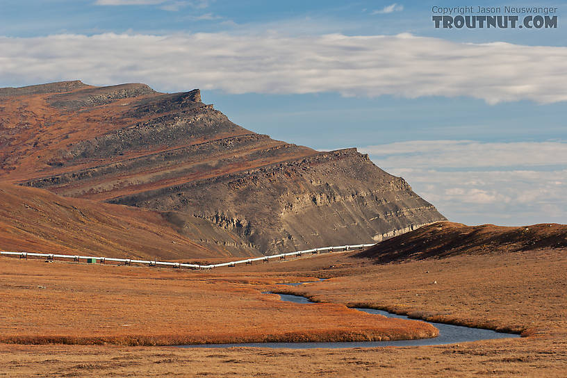
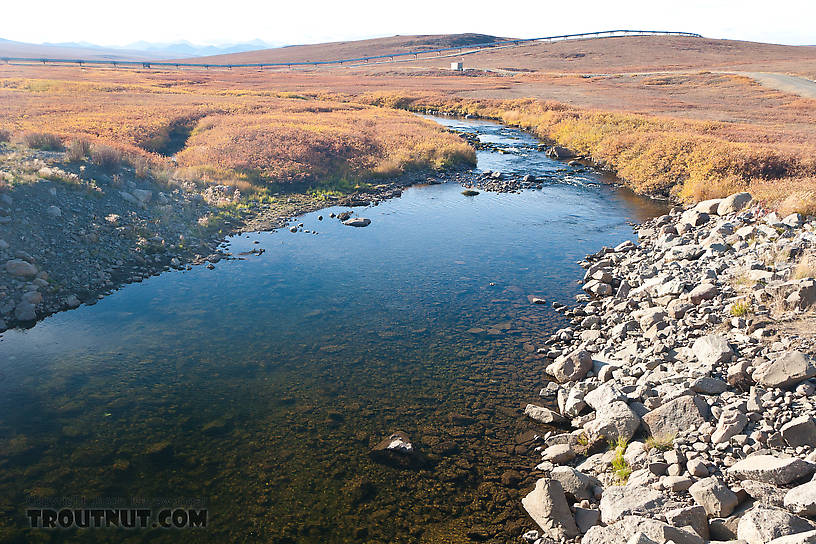
Here Oksrukuyik Creek flows away from the Dalton Highway toward the pipeline. It eventually grows into one of the major rivers of the North Slope, and the main drainage to the west of the Sag, but where it crosses the road it's just a small grayling stream.
StateAlaska
LocationOksrukuyik Creek
Date TakenSep 3, 2007
Date AddedMay 1, 2011
AuthorTroutnut
CameraCanon EOS 20D
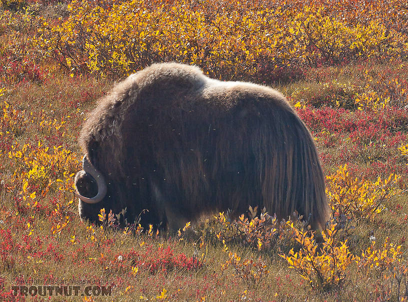
A musk ox grazing near the Sag River in the coastal plain.
StateAlaska
LocationDalton Highway
Date TakenSep 3, 2007
Date AddedMay 1, 2011
AuthorTroutnut
CameraCanon EOS 20D
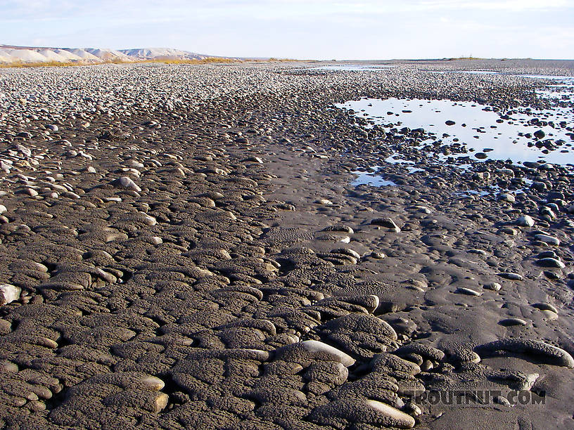
A muddy, mile-wide cobble bar on the very lower Sagavanirktok (or "Sag") River.
StateAlaska
LocationSagavanirktok River
Date TakenSep 3, 2007
Date AddedMay 1, 2011
AuthorTroutnut
CameraPENTAX Optio WPi
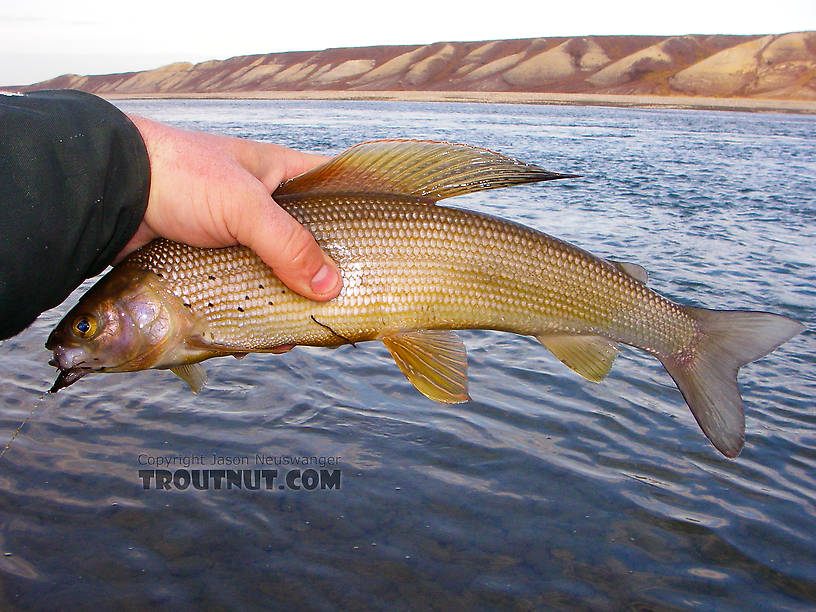
StateAlaska
LocationSagavanirktok River
Date TakenSep 3, 2007
Date AddedMay 1, 2011
AuthorTroutnut
CameraPENTAX Optio WPi

StateAlaska
LocationGalbraith Lake
Date TakenSep 3, 2007
Date AddedMay 3, 2011
AuthorTroutnut
CameraCanon EOS 20D
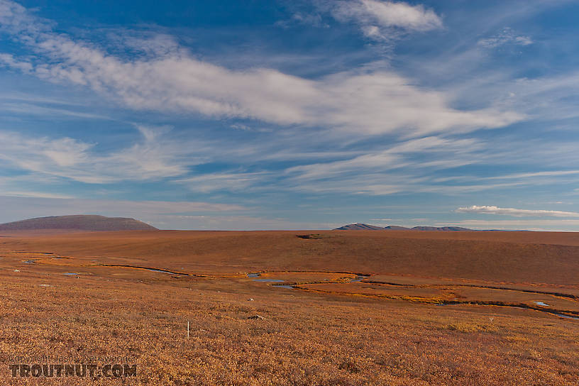
StateAlaska
LocationKuparuk River
Date TakenSep 3, 2007
Date AddedMay 1, 2011
AuthorTroutnut
CameraCanon EOS 20D

StateAlaska
LocationSagavanirktok River
Date TakenSep 3, 2007
Date AddedMay 3, 2011
AuthorTroutnut
CameraCanon EOS 20D
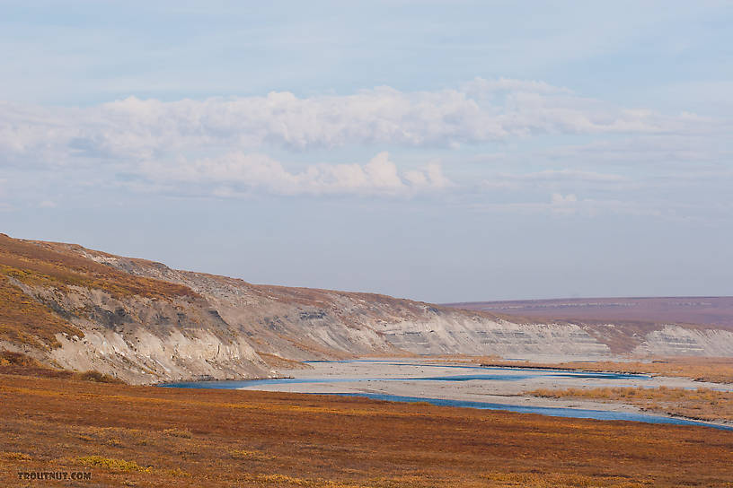
StateAlaska
LocationSagavanirktok River
Date TakenSep 3, 2007
Date AddedMay 1, 2011
AuthorTroutnut
CameraCanon EOS 20D
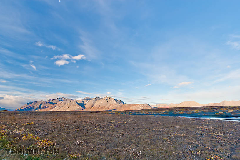
StateAlaska
LocationAtigun River
Date TakenSep 3, 2007
Date AddedMay 2, 2011
AuthorTroutnut
CameraCanon EOS 20D

StateAlaska
LocationGalbraith Lake
Date TakenSep 3, 2007
Date AddedMay 3, 2011
AuthorTroutnut
CameraCanon EOS 20D
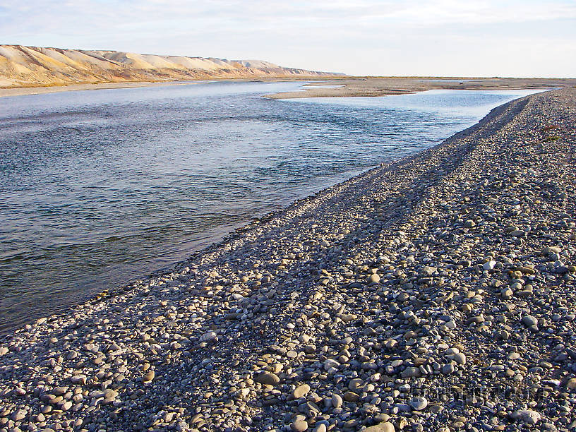
The lower Sag's size is impressive here at Franklin Bluffs (those hills on the left), not far from Deadhorse and the Prudhoe Bay oil fields.
StateAlaska
LocationSagavanirktok River
Date TakenSep 3, 2007
Date AddedMay 1, 2011
AuthorTroutnut
CameraPENTAX Optio WPi
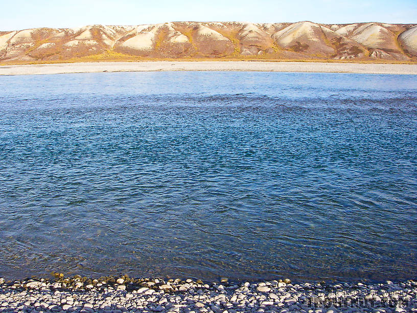
The Sag at Franklin Bluffs.
StateAlaska
LocationSagavanirktok River
Date TakenSep 3, 2007
Date AddedMay 1, 2011
AuthorTroutnut
CameraPENTAX Optio WPi
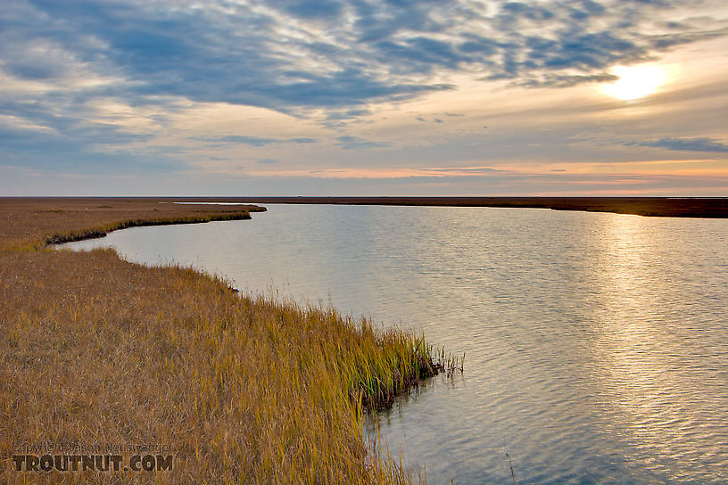
This is one of the many shallow, unnamed lakes in the Arctic coastal plain near the Dalton Highway.
StateAlaska
LocationDalton Highway
Date TakenSep 3, 2007
Date AddedMay 2, 2011
AuthorTroutnut
CameraCanon EOS 20D
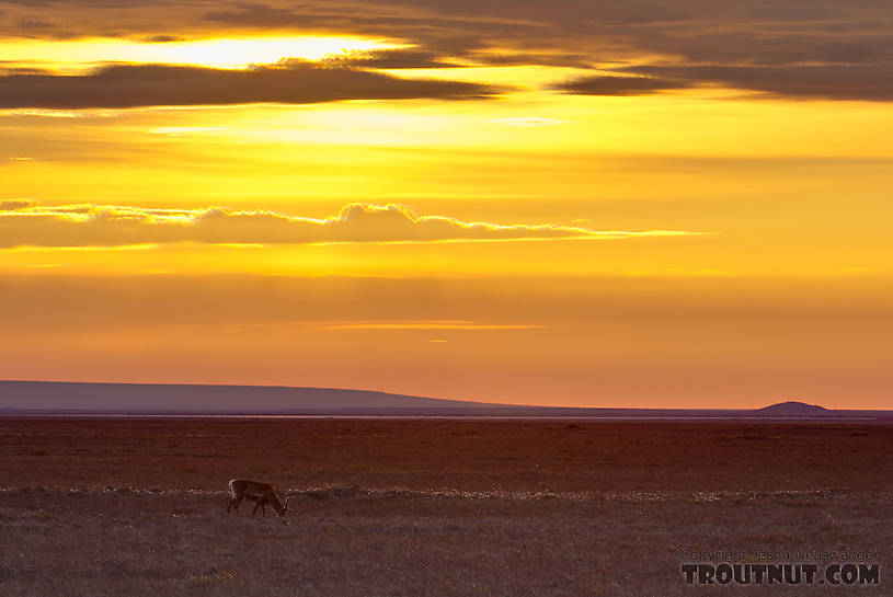
A lone caribou grazes on the Arctic coastal plain near Prudhoe Bay.
StateAlaska
LocationDalton Highway
Date TakenSep 3, 2007
Date AddedMay 2, 2011
AuthorTroutnut
CameraCanon EOS 20D
StateAlaska
LocationKuparuk River
Date TakenSep 3, 2007
Date AddedMay 1, 2011
AuthorTroutnut
CameraCanon EOS 20D
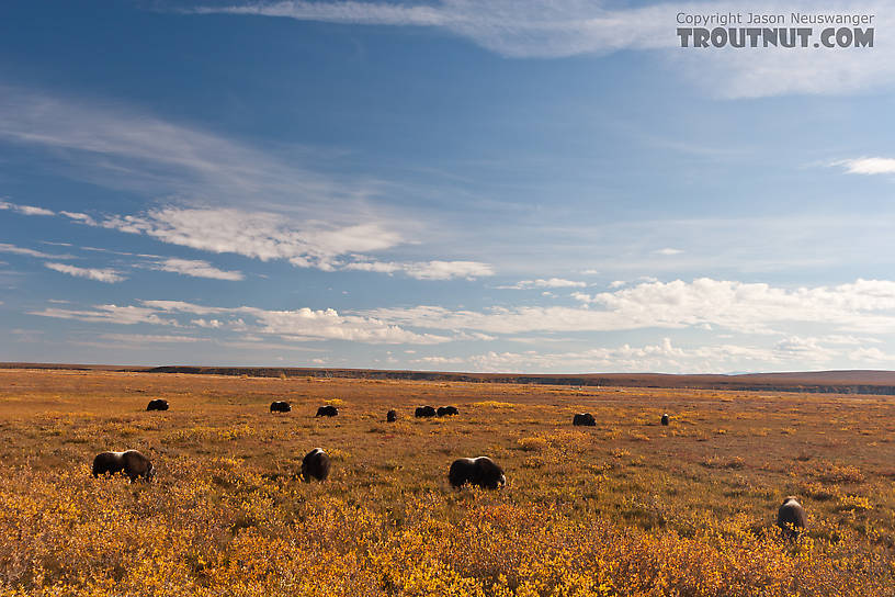
More of the same herd of musk oxen.
StateAlaska
LocationDalton Highway
Date TakenSep 3, 2007
Date AddedMay 1, 2011
AuthorTroutnut
CameraCanon EOS 20D
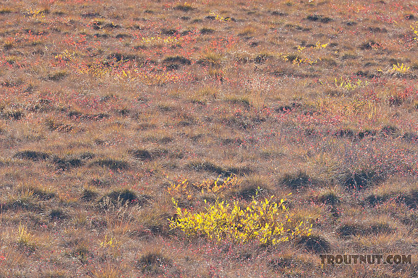
This close-up of the tundra gives you some sense of what it's like to walk on the stuff. I've heard it compared to walking on a mattress stuffed with basketballs.
StateAlaska
LocationDalton Highway
Date TakenSep 3, 2007
Date AddedMay 1, 2011
AuthorTroutnut
CameraCanon EOS 20D
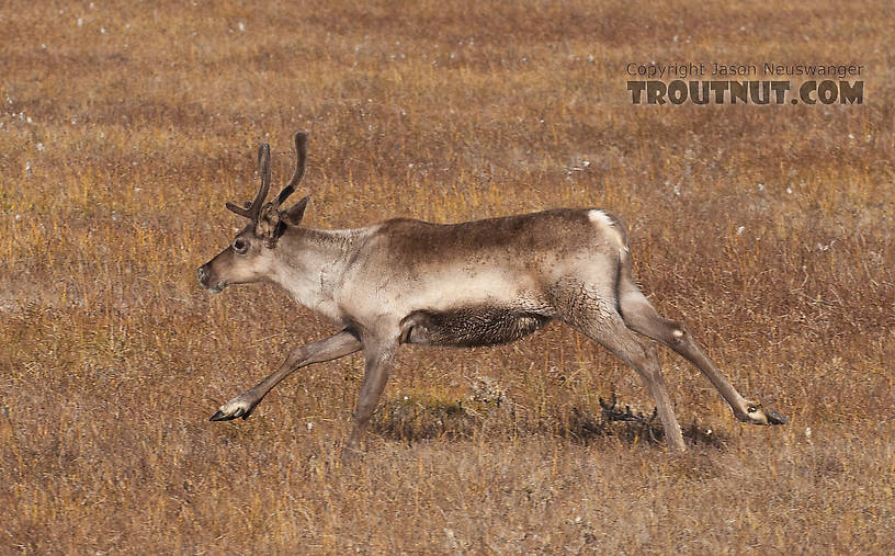
This cow caribou ran across the road in front of my car.
StateAlaska
LocationDalton Highway
Date TakenSep 3, 2007
Date AddedMay 1, 2011
AuthorTroutnut
CameraCanon EOS 20D
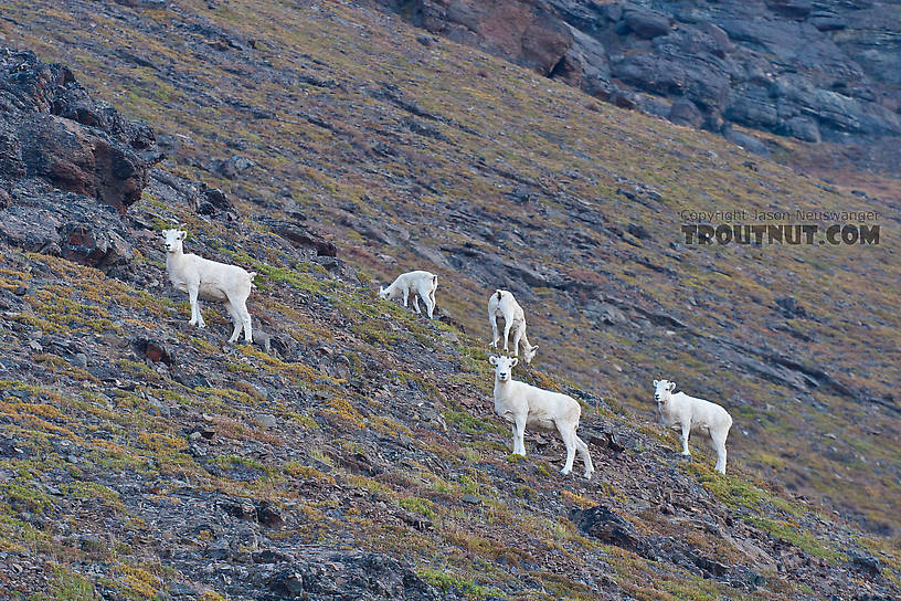
Dall sheep on the side of the mountain overlooking Galbraith Lake, north of Atigun Pass.
StateAlaska
LocationDalton Highway
Date TakenSep 3, 2007
Date AddedMay 1, 2011
AuthorTroutnut
CameraCanon EOS 20D
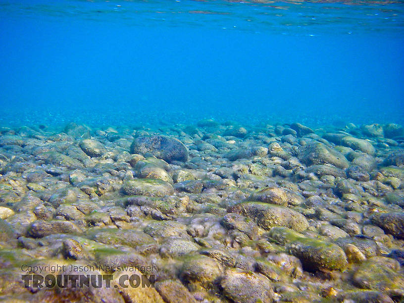
Underwater photos by Troutnut from the Sagavanirktok River in Alaska
StateAlaska
LocationSagavanirktok River
Date TakenSep 3, 2007
Date AddedApr 21, 2011
AuthorTroutnut
CameraPENTAX Optio WPi
Most recent comments on this post (latest on top)
Comment on this post
Top 10 Fly Hatches
Top Gift Shop Designs
Eat mayflies.
Top Insect Specimens
Miscellaneous Sites
Troutnut.com is copyright © 2004-2024 Jason
Neuswanger (email Jason). See my FAQ for information about use of my images.
 privacy policy
